Return to Uzone News Portal
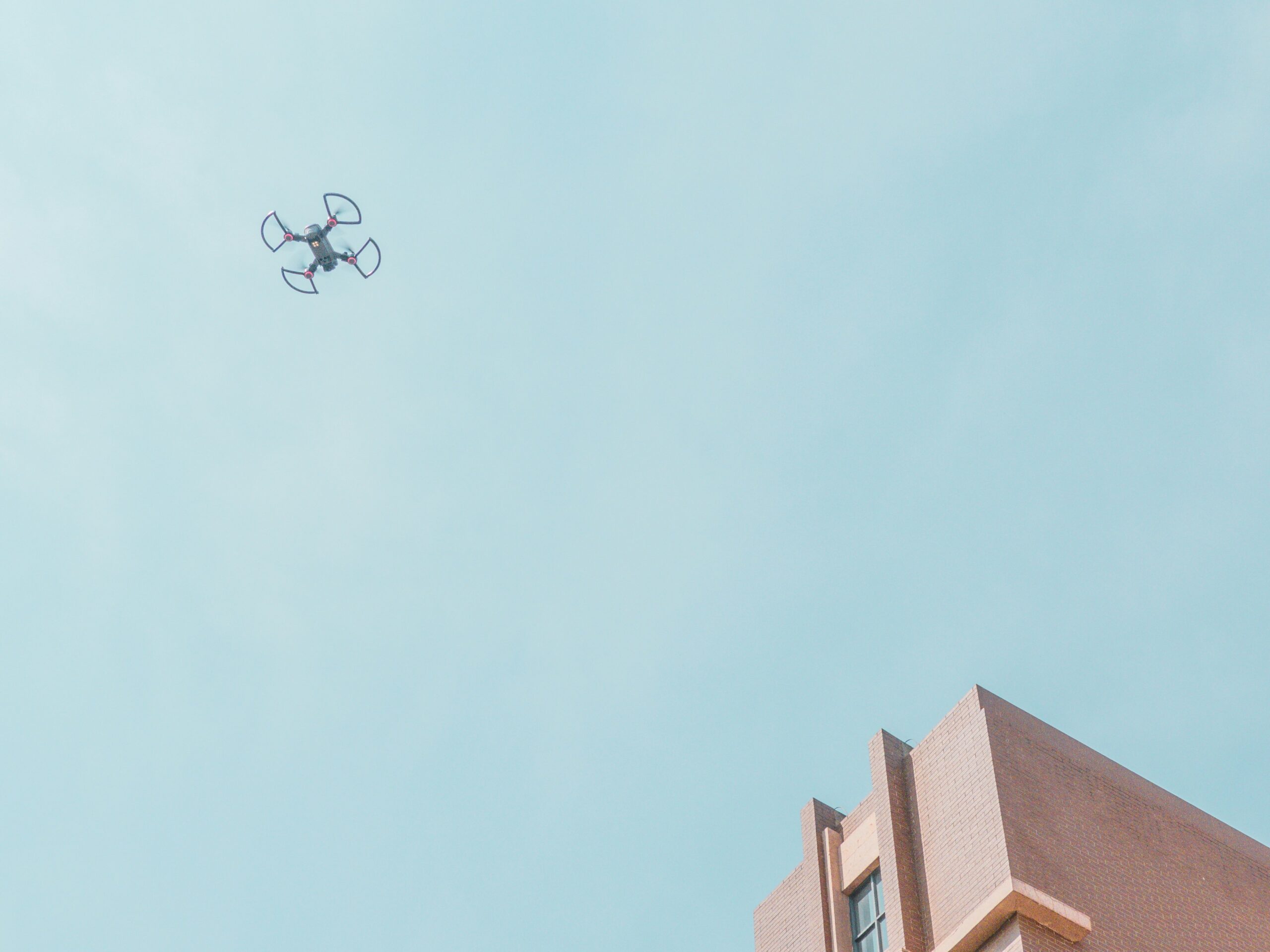
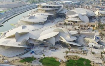
Uzone.id – Drones also known as the unmanned aerial vehicle are probably one of the most revolutionary technologies in several sectors including construction. Through their flying ability and chance to maneuver and capture good pictures and videos from various angles, their use has become noticeable in areas of surveying construction projects.
Using drones in surveying a construction has the following advantages among them being fast and accurate mapping. Due to the fact that drones are outfitted with cameras and sensors with a high resolution so that they are capable of generating very accurate spatial data. From this data it is possible to reconstruct a 3D map of the construction site with a high degree of accuracy. In most cases, it can take days to complete a mapping process, but since the use of this technique, the process takes only a few hours.
”Drones have changed the acquisition of spatial data for construction projects in terms of accuracy and speed which are very valuable for construction works.” – Bernard Van den Boogaard, the former President of the International Federation of Surveyors
Secondly, there is also ease in accessing points in construction surveys through the use of drones to carry out surveys. Due to a variety of reasons such as; roofs of larger buildings, steep slopes, or any other congested areas which are risky for human beings to work on. These areas can be accessed by drones and the imagery information which is impressive is usually obtained.
Progress Monitoring: With the use of drones, it is possible to take photos and record videos of the status of a project on a daily, weekly or even monthly basis. The contractors for instance can use the images captured at different intervals and use the results to assess the physical development of the project, look for challenges and confirm whether the project is on the right track.
A thermal or LiDAR camera on the drones can help in pointing out hidden issues like cracks or leakage on the walls etc. This is very beneficial in case of maintaining the stability and security of the structures in buildings.
One of the most obvious uses of drone surveys is that based on it you can create very accurate 3D maps of the construction site. These models can be used to have better planned projects, more accurate values of costs, and more harmonized organizational categories.
However, it is also important to mention that besides surveying, the use of drones in the world of architecture is also possible to supervise construction projects. For instance, for topography, drones can be used in the creation of high density topography of construction fields. These maps are particularly useful for design layout of structures and volumes of land, and design of the infrastructure.
Dr. Patrick Huber, a Professor of Civil Engineering in ETH Zurich said “Drones do not only enhance the surveyor’s efficiency, but they also facilitate monitoring of construction projects in real time, and this is crucial for enhanced quality and project safety.”
Drones can also refer to a method of observing the surrounding atmosphere within the construction site like gas content in the air, sound intensity and effect on plant life. Furthermore, it is possible to use drones in tracking construction projects from the planning phase to the handover period. These are very important types of documents when we need to organize something in the form of a report or even for archiving. In the meantime, the security of the construction site can also be managed through the use of drones, for instance to note any strange activity or offenses.
Despite the many advantages that come with the use of drones in construction, it has a few challenges that include; regulation. Drones’ application is restricted by several rules and laws, which are set by the governments. There is a need to adhere to these regulations so as to avert legal issues.
There are also other issues that have to be taken into consideration when using drones in the design or construction process of buildings which include weather conditions. One disadvantage of drone flights is that it is affected by weather elements such as wind, rain or fog. Moreover, data collected through the use of drones involves a lot of-skilled operators and environmental conditions.
From the cost perspective, there is also an initial cost associated with using drones in architecture such as buying drones and software which are still rather costly. They have been impacted by the effectiveness of technology which in the long run reduced their costs.
In summary, it is evident that drones have now gained importance in the construction industry. By offering detailed, accurate and timely information the various media have considerably transformed the ways construction projects are developed and controlled. With the constant evolution in drone technology, one is likely to find even better devices, some of which will help to improve efficiency and productivity in the construction sector.